
Rock Mill Park: Find the Big Creek Greenway Spur |
Find the spur on Alpharetta’s map before choosing a short walk from Rock Mill Park. |
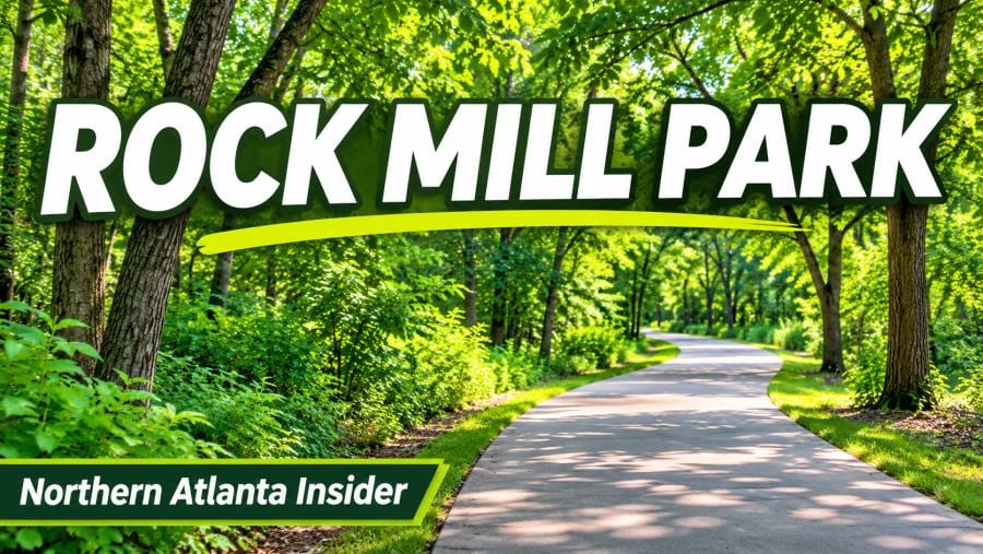
Start with the official visitor or volunteer information for Rock Mill Park greenway spur. Find the spur on Alpharetta’s map before choosing a short walk from Rock Mill Park.
Find the spur and main trail on the mapAlpharetta’s Big Creek Greenway map labels a spur from Rock Mill Park and marks a connection of about 0.26 mile to the main trail. Treat that number as a connector distance. Allow for the walk back to the park plus whatever distance you choose on the main route. Save the map before leaving home so each person in the group can see the same junction.
The connector distance is useful when choosing a budget for the whole walk. A quarter-mile spur in each direction leaves less time on the main trail than a one-way estimate might suggest. Make room for the return and for stops when children or other members of the group need them.
Plan the turnaround before you enter the greenwayFor a short first outing, make reaching the main route enough for the day. If everyone wants to go farther, choose a visible point to turn around. Check the city’s current advisories after rough weather and read notices at the entrance. A route that looks simple on a map can still be affected by a closure or a temporary detour.
Before setting out, pick who will carry the map and agree that the meeting point stays at Rock Mill Park. If someone plans to arrive late, share the park name and the same map. Check the posted trail guidance before choosing equipment or deciding how to share the route. |
 Illustrative paved park path. Photo by Sandu Muresan on Pexels. |
Leave room for people to passStart together, keep children close at busy junctions and choose stopping points away from the travel lane. Tell the group whether you are meeting at the park or on the main trail. When two parties have different pace or distance goals, keep the return plan simple and make sure everyone knows which spur leads back.
The greenway map is also useful if you decide to try another start another day. Compare the marked connectors and choose a single access point for each outing. Keep the first Rock Mill walk short enough that the group can check the junction without turning it into a distance goal.
For related planning, see our Big Creek Greenway first-walk guide and Wills Park Arboretum guide. Those guides cover a different part of the planning process. Start with the official information for this article’s subject, check current details, and share the most important information with the people joining you. |
 Illustrative wooded pathway. Photo by orijinal frame on Pexels. |
0 Comments
Join the conversation
Be the first to comment
Share your thoughts above.