
Big Creek Greenway in Alpharetta: Choose a Short First Walk |
Select an access point and count the connection to the main trail |

Alpharetta greenway trailheads: pick the start before the distanceBig Creek Greenway is a linear route, so a useful first-visit plan begins with an access point rather than a total trail length. Alpharetta's official map shows several entrances and connections. Choose the one that fits where you are coming from, then build a short walk around a clear return to the same place. The Big Creek Greenway map identifies access around places including Haynes Bridge Road, Rock Mill Park and Marconi Drive. Some entrances use a spur to reach the main route. Trace that connection before deciding how far your group will walk. Alpharetta greenway trailheads are not interchangeable meeting instructions. Send companions the exact chosen access point and agree on where to gather after parking. Someone arriving at another entrance may be separated by much more walking than anyone intended. Resolve that detail before the outing begins. 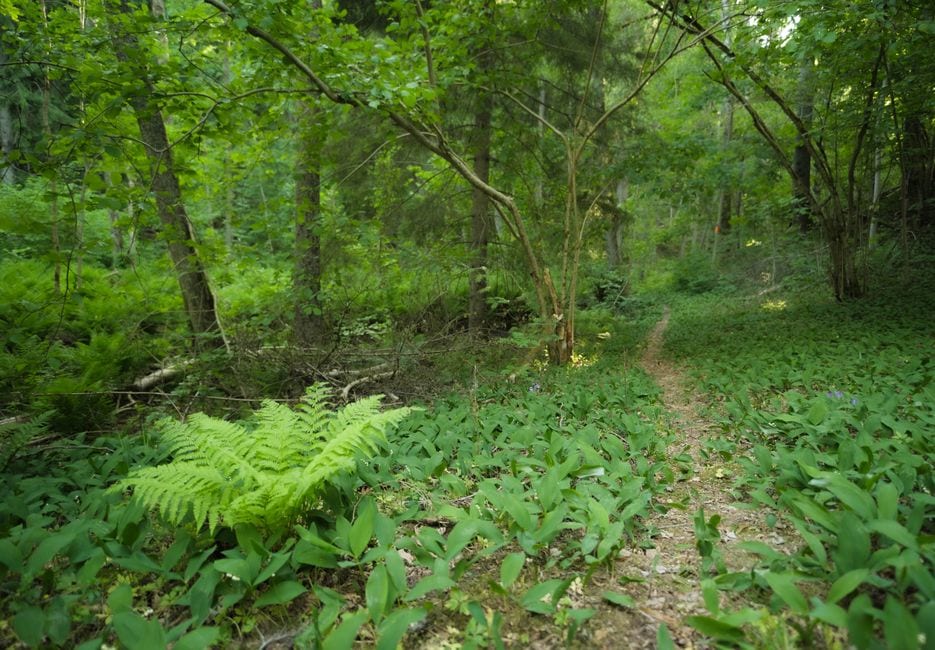 Plan a Big Creek short walk as an out-and-backA Big Creek short walk can work well when you choose a modest turnaround rather than setting out toward an uncertain destination. Decide how much time you have, allow for pauses and turn back while everyone is comfortable. The distance from parking to the greenway is part of the outing, not a free addition. Use mile markers and a saved map as orientation aids, then compare them with the current signs. Do not calculate the return solely from how fast the group walked outward. A tired child, a rest or a photograph can change the pace. Leave room for that difference from the start. Give the walk a small observation purpose: compare light in open and wooded sections, listen for changes in sound or notice how the creek setting differs along the route. Wildlife sightings are not guaranteed. A successful short outing can be based on what you notice without needing to reach a particular feature. Read the Big Creek Greenway map with current conditions in mindThe city's map distinguishes concrete greenway, boardwalk and natural-trail symbols. Read the legend instead of assuming every nearby route uses the same surface. If mobility access or a particular facility is essential, ask the city about your specific entrance and planned segment before traveling. A map describes a route, not today's closure status. The city's recreation contacts page directs residents to its update service for greenway notices and lists a greenway contact. Use a current operator update, particularly after poor weather, rather than assuming a search result marked open is recent. Keep Alpharetta information separate from notices issued for other jurisdictions along the wider corridor. The same greenway name can appear in different local listings. Match the notice to the segment you intend to use, and respect a closure even when the path beyond it looks inviting. 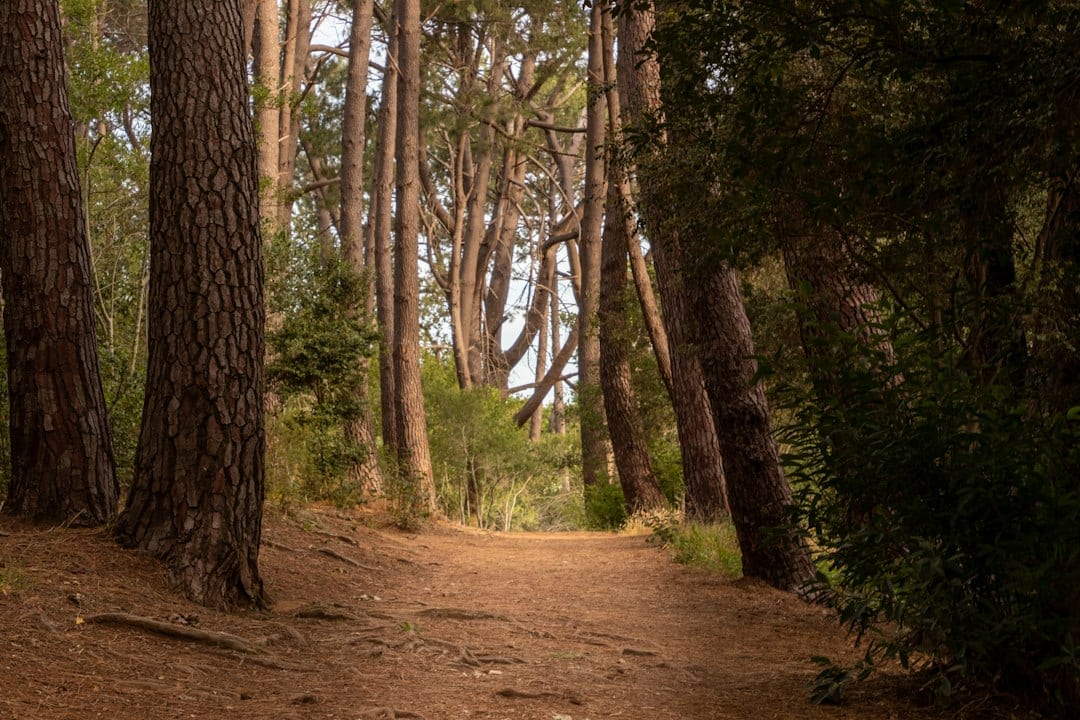 Share the route comfortably and keep another optionStay aware of people approaching from either direction and move clear when stopping to check a phone or gather the group. Avoid spreading companions across the route. A walking pace that allows conversation can still leave room for cyclists, runners and others to pass without surprise. Our Morgan Falls view-focused guide offers a different outdoor plan when a linear walk is not what you want. For an indoor alternative, our Alpharetta History Museum guide explains a weekday visit at City Hall. Confirm each destination separately. Record which access point, turnaround and pace suited the group. A repeatable short outing is often more useful than an ambitious first walk that nobody wants to repeat. Extend the route later when you understand the connections and have checked current conditions for the part you plan to explore. |
0 Comments
Join the conversation
Be the first to comment
Share your thoughts above.